Below are maps and photos of Old Tehran, kavehfarrokh.com is indebted to contributions by numerous history enthusiasts, including Fathali Ghahremani who contributed the old maps seen on this page.
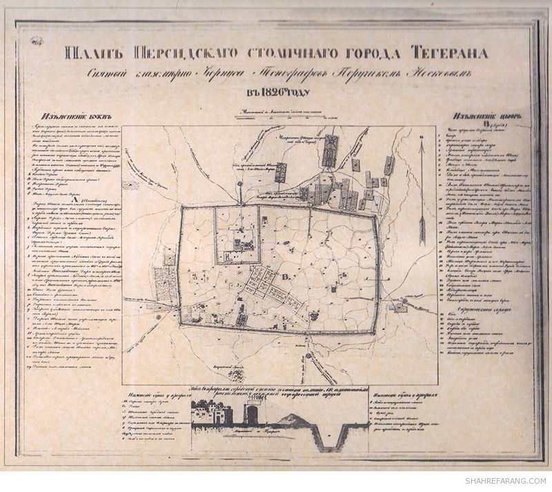
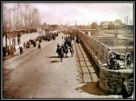
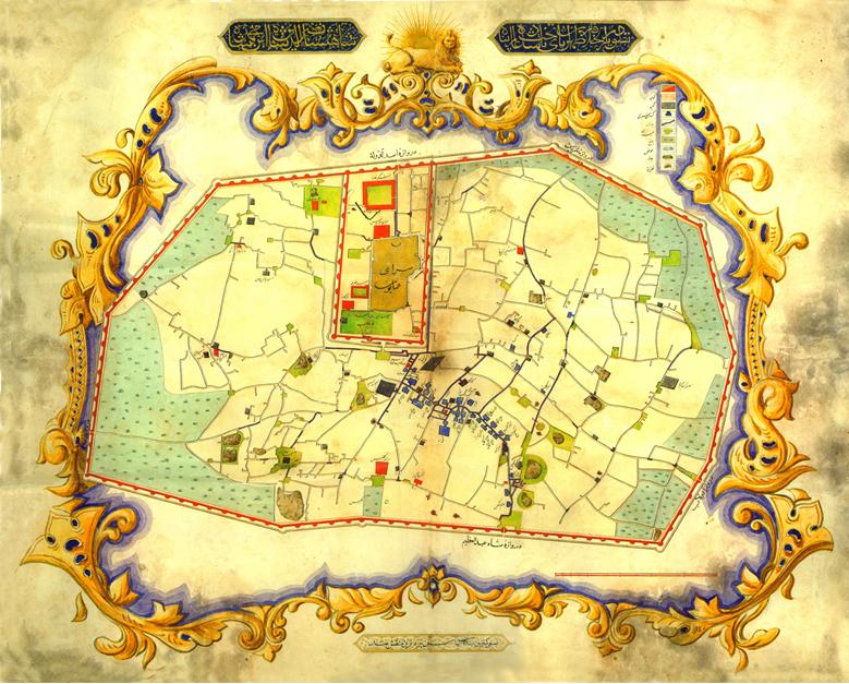
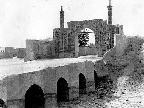
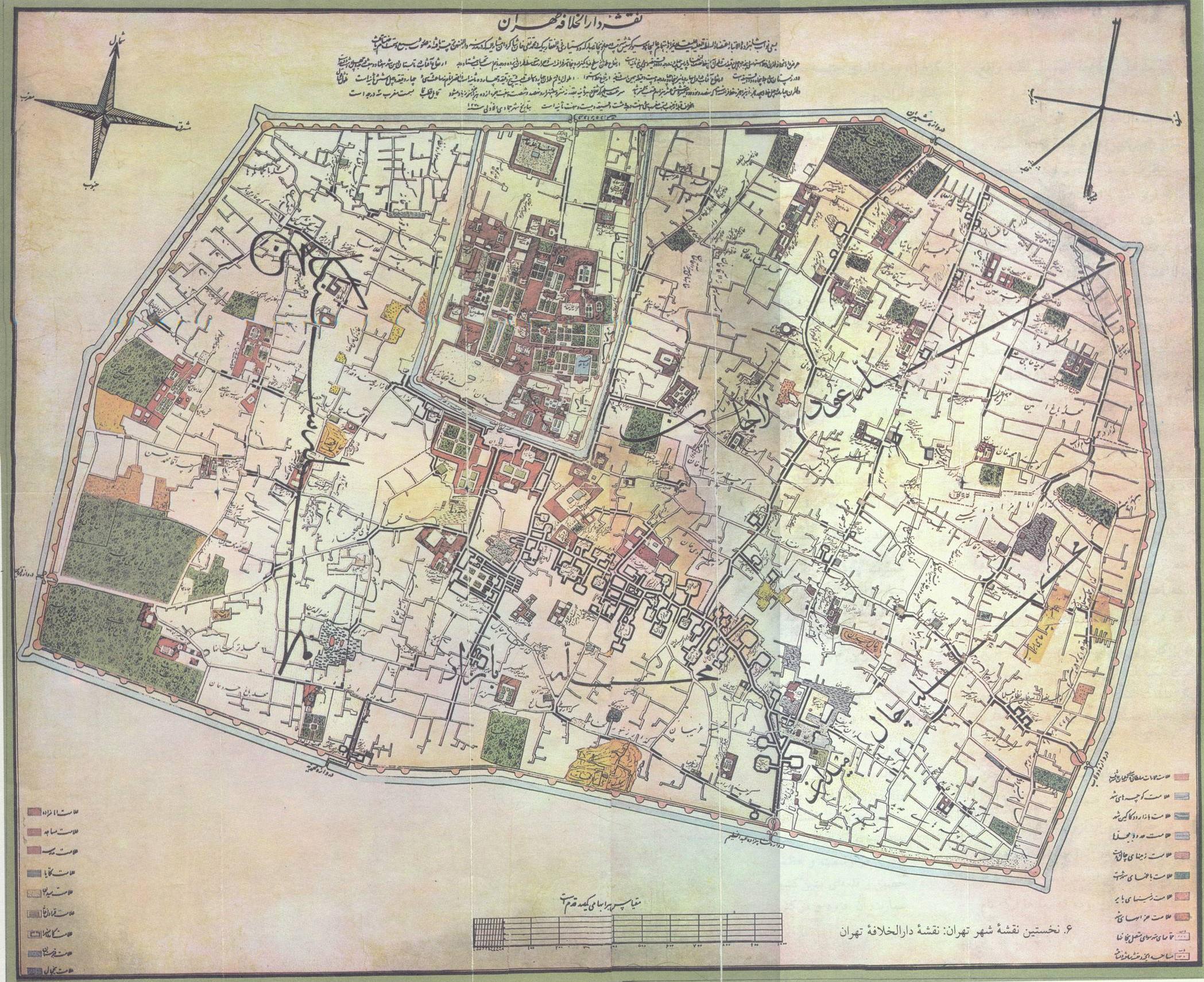
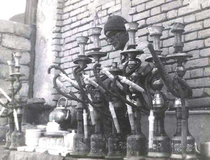
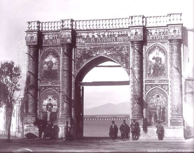
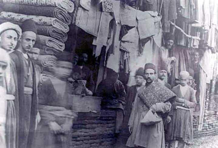
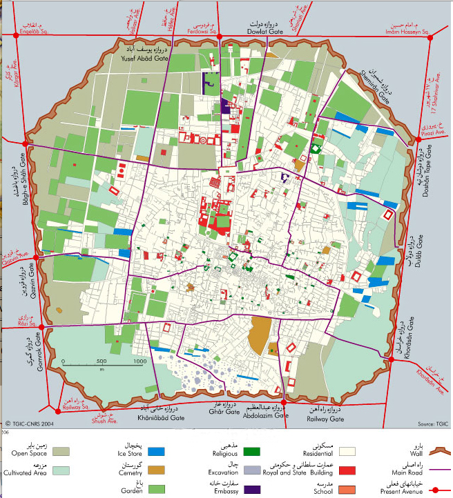
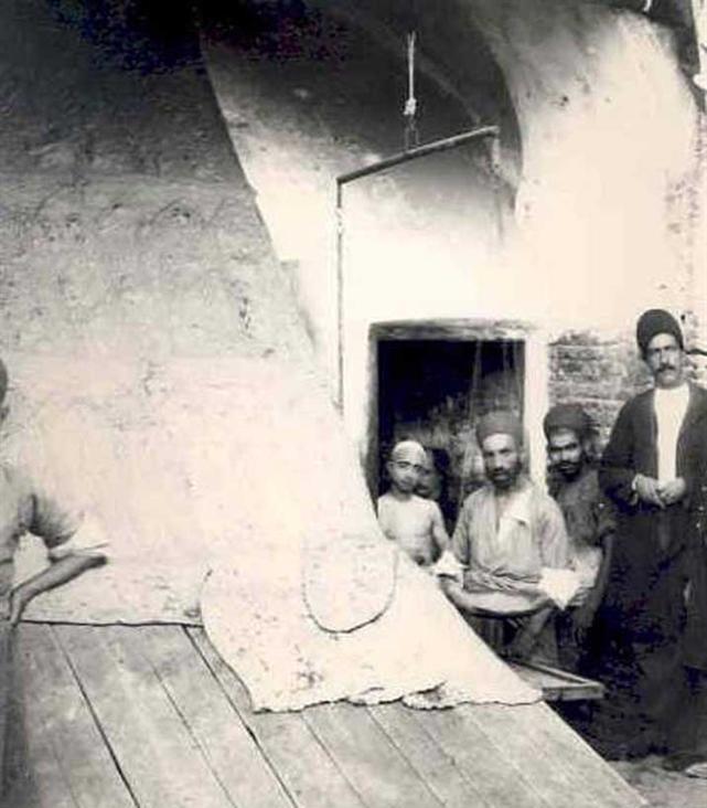
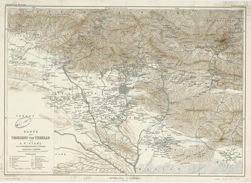
This photo is from (circa) 1871, during the Nasser e Din Shah era – it is the oldest known photo of Tehran. The name of the street today is Mirdamad. -نام کنونی این محل بلوار میرداماد میباشد-طهران در دوران حکومت ناصرالدين شاه قاجار-سال ۱۲۵۰ خورشیدی- [Click to Enlarge] Map of Tehran dated to 1848. One of Tehran’s gates during the Qajar era -یکی از دروازه های قدیمی تهران زمان قاجار- [Click to Enlarge] Map of Tehran dated to 1858 [NOTE: this is very high resolution image which may take a little time to load]. [Click to Enlarge] A Tea and Coffee house in Tehran in the late Qajar era-قهوه خانه در بازار تهران – –میدان مشق در تهران زمان قاجار– Tehran’s Meydan Mashq during the Qajar era; note the paintings on the structure. [Click to Enlarge] Tehran Bazaar in the late Qajar era -بازار تهران- [Click to Enlarge] Interesting map of Tehran in 1890 – note legend markers. [Click to Enlarge]Bread bakery (Sangak bread) in late qajar era –نانوائی اواخر دوره قاجار– [Click to Enlarge]Map of Tehran dated to 1900.