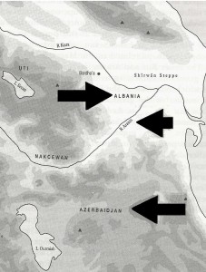
Historically and geographically, the term Azarbaijan applies to the province of that name in northwest Iran. The Khanates such as Shirvan, Nakhcehvan, etc. north of the Araxes river to the east of Armenia were re-named as “The Republic of Azarbaijan” by the late Mohammad Amin Rasulzadeh (1884-1955) in 1918 at the best of the pan-Turk activists of the former Ottoman Empire. The term was retained and expolited for geopolitical purposes by the former Soviet Union.
There is now new evidence to support the fact that the renaming of the former Iranian khanates in the Transcaucasus was deliberately done to allow the pan-Turks and then the Soviets to lay claims to the real historical Azarbaijan in Iran’s northwest.
Note that the information on this being an original German citation is provided on the top left (note enclosure 7 of that identification number). Those archives were selected by Wolfgang Gust and are accessible through the site as seen in the link in their German original. Note this citation:
In Persia, the fact that Turkey has selected the name ‘Azerbaijan’ for the most eastern of the three Transcaucasian republics in order to be able to construct a claim to the Persian Azerbaijan has caused very strong ill-feelings in Persia. Agitation in Persia is even greater, because the Persians are by no means friends of the Tartars.
In essence, the term “Azerbaijan” was applied to those former Iranian khanates north of the Araxes in order to help lay the geopolitical basis for claims on the historical Azarbaijan in Iran’s northwest. This was initially done by pan-Turk activists sympathetic to the Ottoman Empire, and then by the former Soviet Union, followed by pan-Turk nationalists at present.
There are numerous sources that clearly affirm the historical distinction between the historical Azarbaijan and those territories to the north of the Araxes River, now known as the Republic of Azarbaijan. these can be seen in both maps and academic/historical references.
Maps of the Caucasus
One example is that of a 1912 map of by the Ottoman Turks (see below).
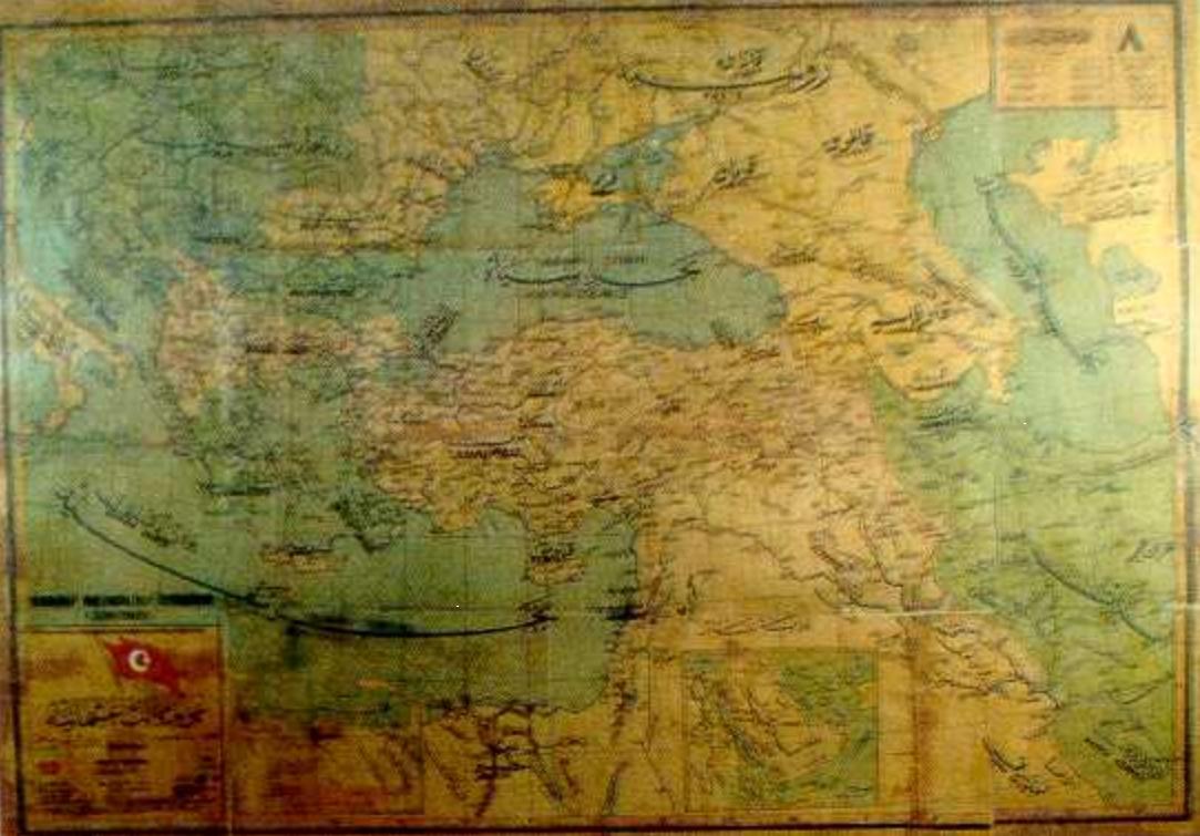
Map of the Ottoman Empire, western and northwestern Iran and the Caucasus drafted in 1912 by the Ottoman Turks in 1912. Note that the term “Azarbaijan” is only applied to Iran’s northwest, which is a province with that name. The name was not applied to the territories to the north of the Araxes River.
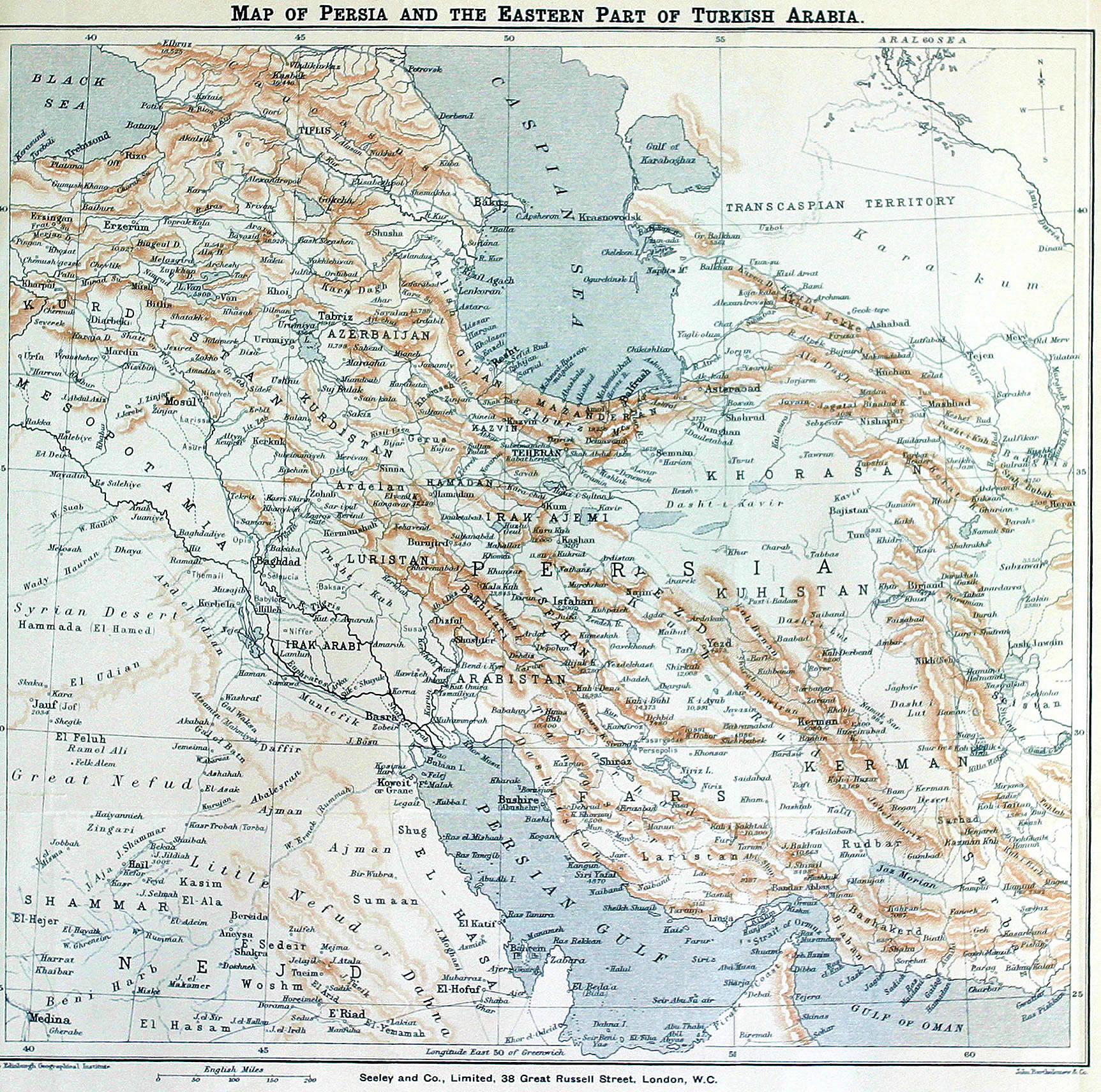
Map of Iran, the eastern marches of the former Ottoman Empire and the Caucasus. Note that the term “Azarbaijan” applies to Iran’s northwest province known as “Azarbaijan”. No such name is used to designate those territories to the north of the Araxes River.
Historical and Academic References
There are numerous historical references attesting to the historical distinction between the ancient province of Azarbaijan in northwest Iran and the modern-day Republic of azarbaijan which was known as Arran (and other designations such as the Khanates, or Albania, etc.) before 1918. A handful of these include:

